
Gilgit-Baltistan is divided into districts, each with its own valleys, languages and character. Choose a district to see its places to visit, how to get there, the best time to go, and the hotels and treks nearby.
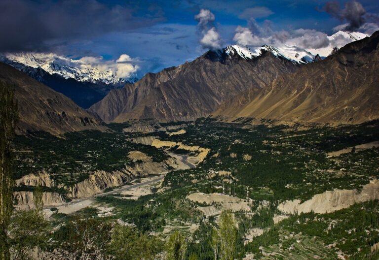
Hunza
Valley of forts, orchards and seven-thousand-metre peaks. Hunza is the best-known valley of Gilgit-Baltistan. The Karakoram Highway runs through it from Nagar to the Chinese border at the Khunjerab Pass, below peaks such as Rakaposhi, Ultar Sar and the Passu Cones.
Explore Hunza
Nagar
Glaciers, high lakes and the north face of Rakaposhi. Nagar lies across the river from Hunza and is our home district. It holds some of the most accessible glaciers in the Karakoram and the full north face of Rakaposhi, which rises almost six kilometres above the road.
Explore Nagar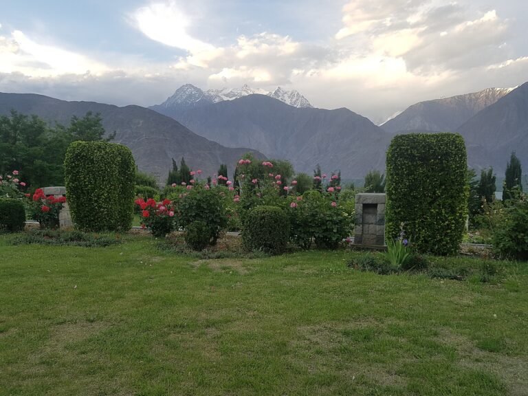
Gilgit
Capital of the region and gateway to the valleys. Gilgit is the capital of Gilgit-Baltistan and the place where most journeys begin. The city sits on the Gilgit River close to the point where the Karakoram, Himalaya and Hindu Kush ranges meet.
Explore Gilgit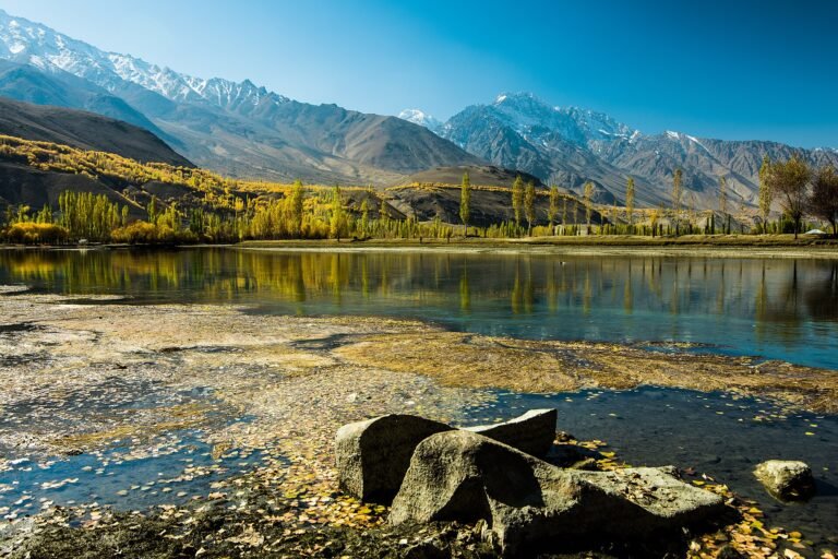
Ghizer
Trout rivers, blue lakes and the road to Shandur. Ghizer stretches west from Gilgit to the Shandur Pass and the border of Chitral. Its valleys are green and quiet, with clear rivers known for trout, and it sees far fewer visitors than Hunza or Skardu.
Explore Ghizer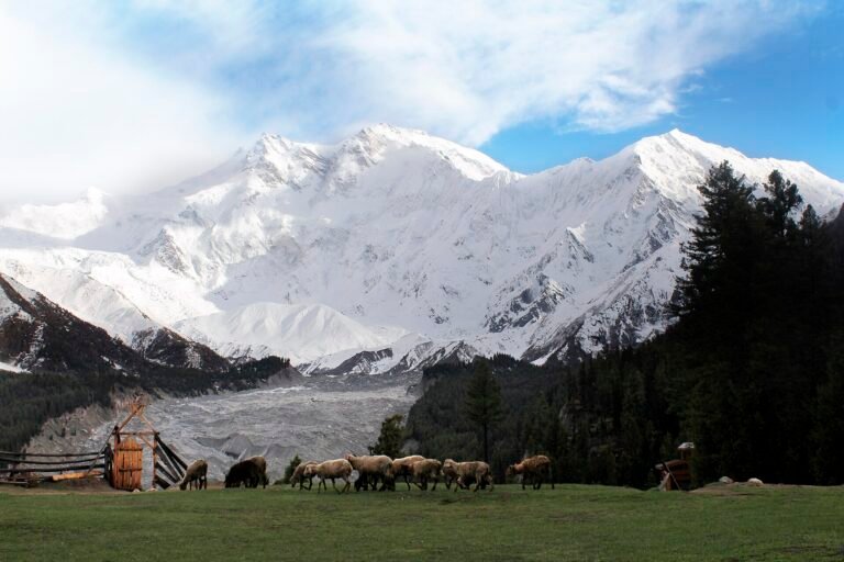
Diamer
Home of Nanga Parbat and Fairy Meadows. Diamer is the first district most travellers enter on the way north. The Karakoram Highway follows the Indus here below Nanga Parbat, at 8,126 m the ninth-highest mountain on earth.
Explore Diamer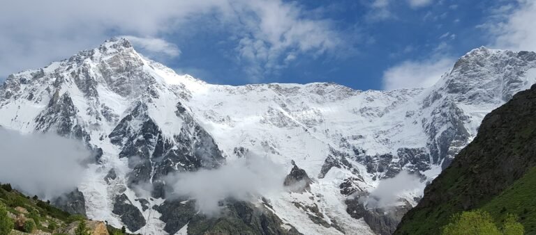
Astore
Meadows and lakes below the Rupal Face. Astore lies on the eastern side of Nanga Parbat. Its valleys are high, green and full of flowers in summer, and it is the usual route from the Karakoram Highway to the Deosai Plains.
Explore Astore
Skardu
Lakes, cold deserts and the gateway to K2. Skardu is the main town of Baltistan and sits in a wide basin where the Shigar River joins the Indus. Sand dunes, lakes and bare rock peaks give it a landscape unlike any other part of the region.
Explore Skardu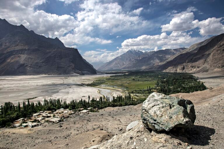
Shigar
An old fort town on the road to K2. Shigar is a green valley of orchards and old wooden mosques a short drive from Skardu. Its 17th-century fort has been restored and is one of the finest heritage buildings in the country.
Explore Shigar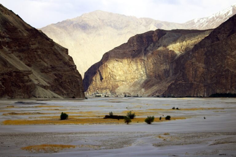
Ghanche (Khaplu)
Palaces, wooden mosques and the Hushe valley. Ghanche is the easternmost district of Gilgit-Baltistan and follows the Shyok River towards the high peaks of the Masherbrum and Saltoro ranges. Its main town, Khaplu, is known for a restored royal palace and a wooden mosque that is among the oldest in the region.
Explore Ghanche (Khaplu)
Kharmang
Waterfalls and orchards on the Indus. Kharmang follows the Indus south-east of Skardu. The name means the place of many forts in Balti, a reminder of the watchtowers once built along this route.
Explore Kharmang